Cross-country ski trail maps.
These may be anywhere, as part of a park or commercial ski area or just as a cross-country venue in its own right.
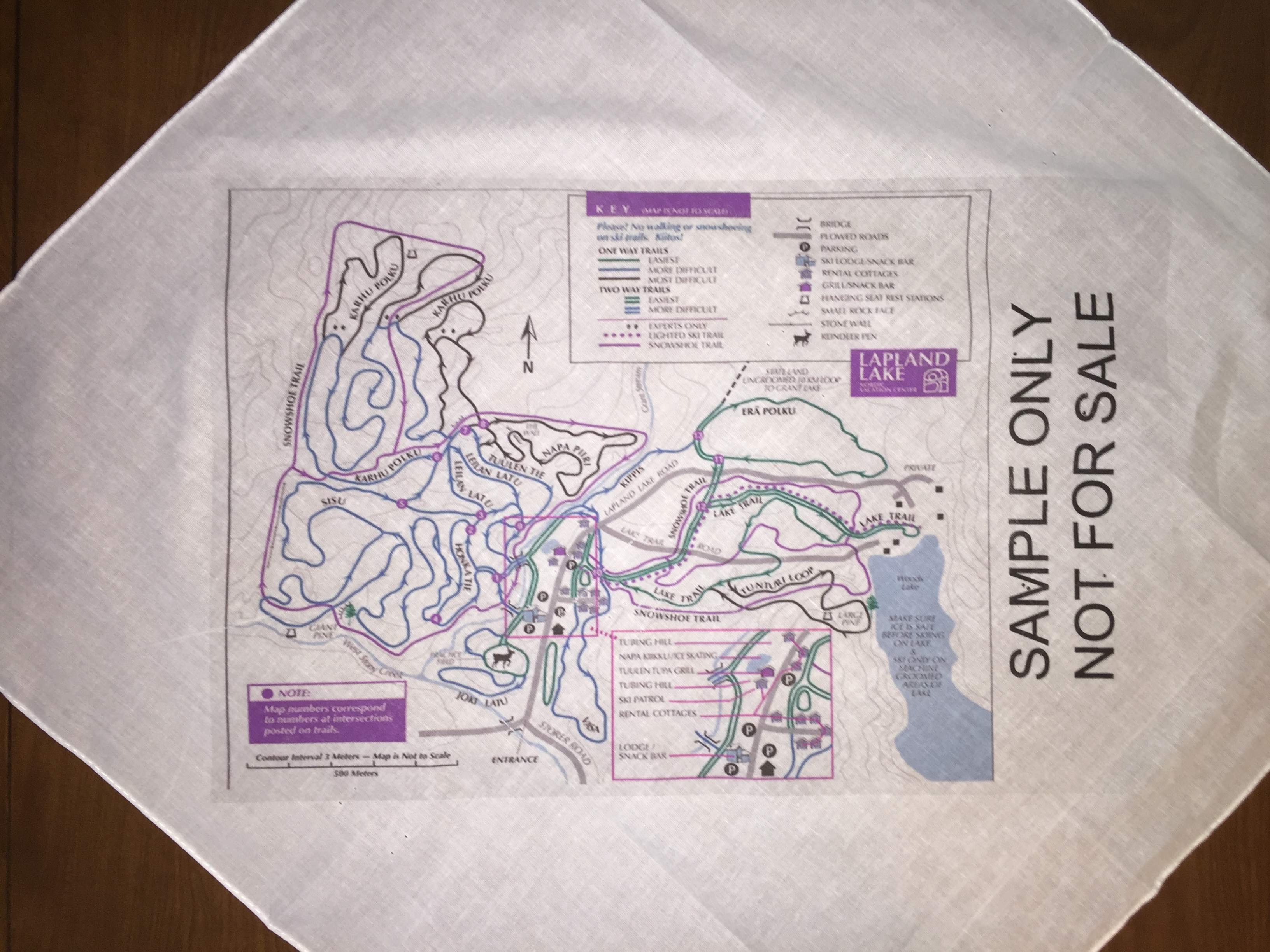
This is just a sample, a heat-transfer of an existing trailmap onto bandana stock.
It gives a feeling for the look of a minimum-redesign project.
Used by permission of Lapland Lake.
Vision
These are maps of the cross-country ski trails.
Outlet
Ski shops attached to the resort or ski area
For interconnected networks of trails, may be sold at shops in the other networks.
Local sports and skiing equipment shops
With a large potential number of areas and networks, shops are likely to stock only local maps.
Special Features
The map must carry a sense of the terrain, as well as the layout.
This could be as simple as the circle, square, diamond rating of the trail, or the contours of the land, as needed
Natural features such as wooded areas and streams
Expected Use
These can be a souvenir item, but can also be an important aid when on the trails if the network is any size at all.
As bandanas they can cover the face or the head, and have all those secondary uses from tying something to carrying small found items.
Our Process
We will work with the cross-country areas to develop these,
either from their existing maps or GPS traces.
Powered by Notepad
Yes, this is just handwritten HTML.
Please report page problems by clicking here.